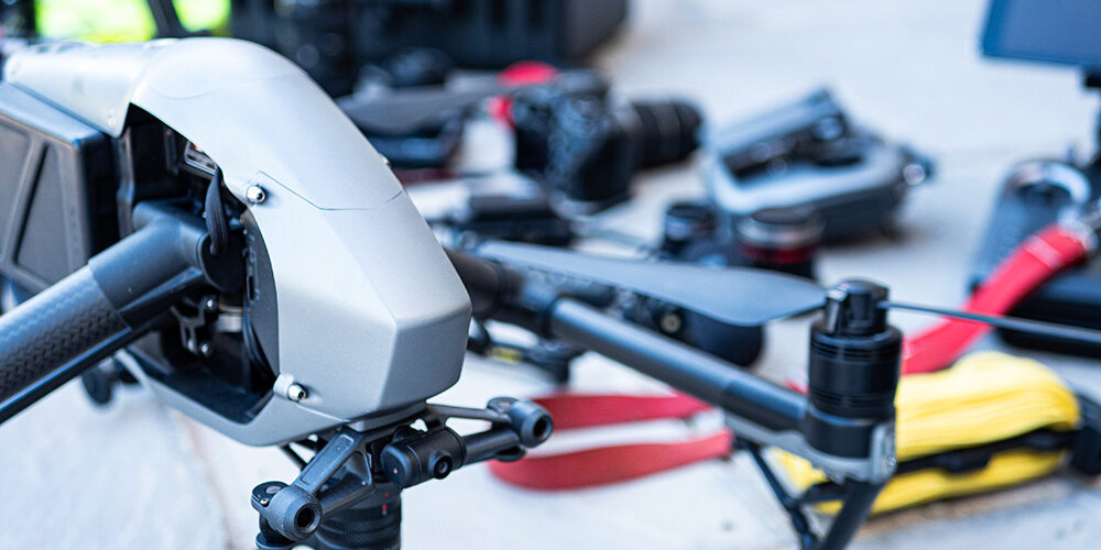
Drones and agriculture – who would have thought that this combination would work together?
Personally speaking, drones have helped Abbott Wessex out as you can see from the video that was put together by Adam from Aerial Media Services on our home page – last season they produced a great video for us during the baling season which aptly demonstrates how we gather the crop for the forthcoming season.
On a macro scale, drones have really benefitted agriculture, particularly the larger farms – coupled with advanced software, the drone (multi rotor and fixed wing) can be programmed to follow a flight path that maps out the fields that the farmer wants to analyse. The drone can then be launched and, through the use of the software, collect the data required for the farmer. Sometimes the farmer would like to check out the crop and see if there any infected areas and check the health of the crops generally. From an aerial perspective, this is the ideal way to look at large scale crop growing.
Data can be gathered from the drone using a number of different methods such as thermal/infra-red, LIDA, multispectral and hyperspectral data. The benefits are numerous, not only limited to the health of crops but also
Irrigation – Drones can determine which areas of the fields are dry and hence need watering. The are also able to allow the calculation of the vegetation index which shows the density of the crops and hence how well it is growing.
Crop monitoring – Prior to the advent of drones, the only way agriculture could really monitor their crops was via satellite imagery – the issues with this was that the imagery had to be ordered in advance and was very limited (one a day). Nowadays with time lapse animation, one can see the development of the crops over a time period and it can also be monitored regularly, even on a day to day basis if desired.
Crop planting – Systems have been developed whereby drones can drop nutrients and other beneficial substances into the soil to increase the grow rate of the crops.
Soil and field analysis – Drones can create 3d maps for soil analysis and early growing requirements. Once planted drones can offer up data on nitrogen levels and irrigation requirements.
Crop spraying – drones have the ability to maintain the same altitude over terrain through the use of GPS, light detection and LIDAR methods. This allows the drone to spray the correct amount of liquid over a designated area – this is an extremely efficient method of spraying and it is estimated by experts that the process gets done 5 times faster than more traditional methods.
This article was written by Adam H-W who is a drone operator based in Devon but travels extensively throughout the UK and beyond for his work. He works independently and his company website is www.aerialmediaservices.co.uk


